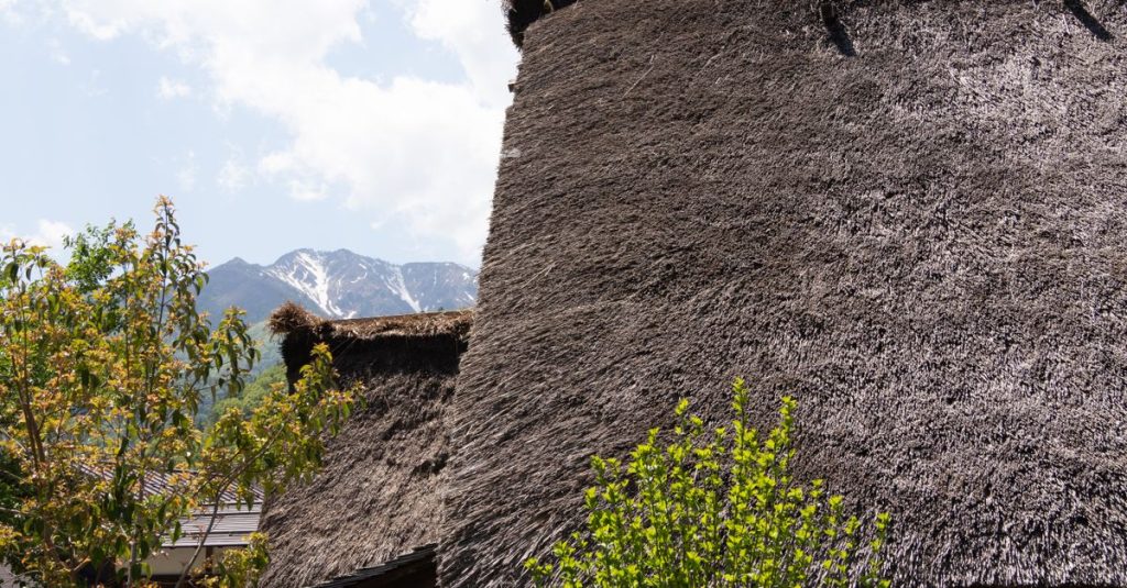
Shirakawa-go: Visit the Gasshō-Zukuri Village
Discover Shirakawa-go, a UNESCO-listed Japanese village with gasshō houses, Alpine scenery and practical advice for planning your visit.
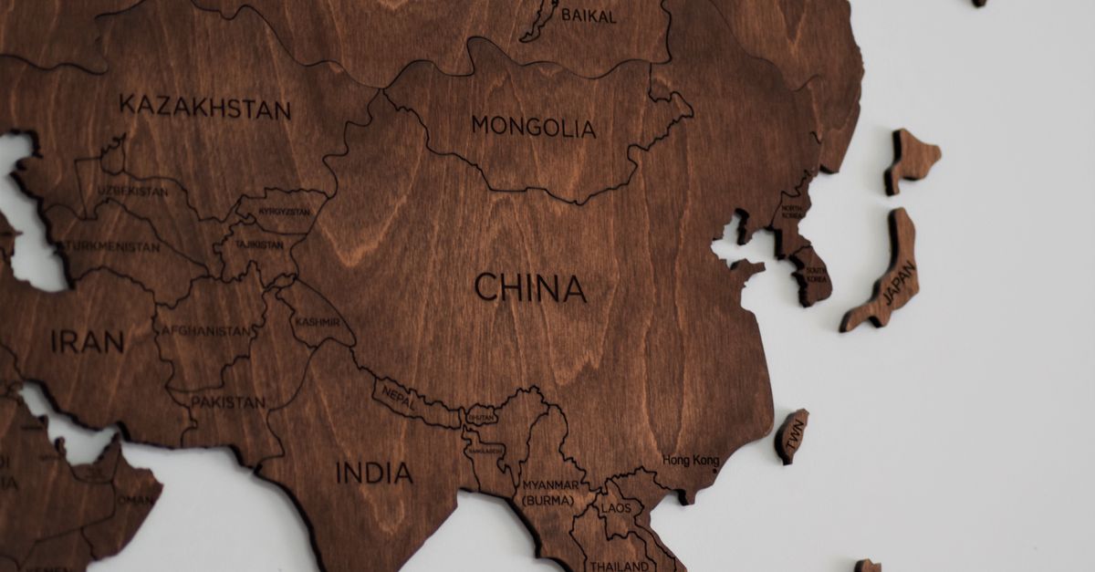
Japan is first and foremost an archipelago organised around four main islands: Hokkaidō in the north, Honshū in the centre, Shikoku and Kyūshū in the south-west. Maps also divide the country into eight regions, a practical way to locate prefectures, major cities and the stages of a trip. Okinawa, farther south, is often shown in an inset because its distance would make a map of the whole country difficult to read.
This geography explains the country’s contrasts: cities and railway lines are concentrated mainly along the coast of Honshū, while mountains, volcanoes and islands sometimes require detours or a change of transport. When planning an itinerary, it is therefore useful to distinguish the distance on the map from the actual travel time. For an overview of the archipelago, see our guide to Japan’s regions.

On a map, Japan forms an elongated arc off the eastern coast of Asia. Its four main islands run from north to south: Hokkaidō, Honshū, Shikoku and Kyūshū. Okinawa belongs to the Ryūkyū archipelago, farther south-west, and is often shown in an inset at a smaller scale.
Hokkaidō, in the north, is separated from Honshū by the Tsugaru Strait. Its cities and natural areas are far from the country’s central hubs; Sapporo and Hakodate are among the most useful landmarks to identify. The climate and scenery differ from those of the southern cities, making the season of your trip important. To compare periods, also see our guide to Japan in October and its weather.
Honshū is the largest of the four islands and the one where Tokyo, Kyoto, Osaka and Hiroshima are located. It stretches between the Sea of Japan to the west and the Pacific Ocean to the east. Its length and central mountain ranges explain why two cities that look close in a straight line may require a longer rail journey or a change. Mount Fuji is on this island, between Yamanashi and Shizuoka prefectures.
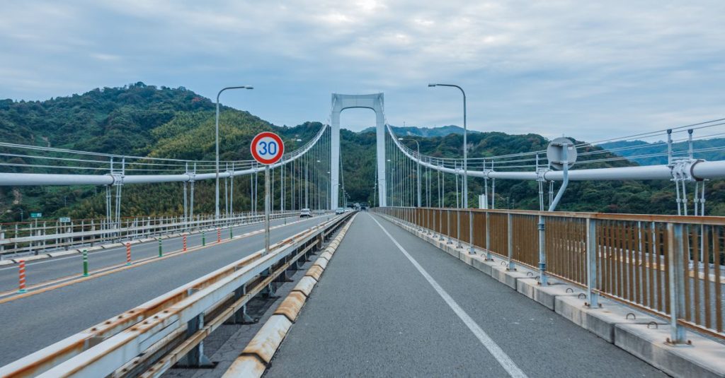
Shikoku, south of Honshū, is separated from it by the Seto Inland Sea. Its cities include Takamatsu and Matsuyama. The bridges connecting it to the rest of the country make access from Honshū easier, but the island has no Shinkansen line. Your itinerary must therefore take regional trains, roads and buses into account, especially when reaching valleys or remote sites.
Kyūshū lies south-west of Honshū. Fukuoka, Nagasaki, Kumamoto and Kagoshima help locate the island’s main routes, which are also known for volcanic landscapes and hot springs. Okinawa is farther away: the map may make it look like a nearby continuation, but access must be planned separately. For information about seismic activity and the precautions to know, see our page on earthquakes in Japan and what to do.
Japanese geography is therefore more than a succession of large cities. Straits, mountain ranges and the scattered islands explain the variety of landscapes, as well as the differences in transport from one region to another.
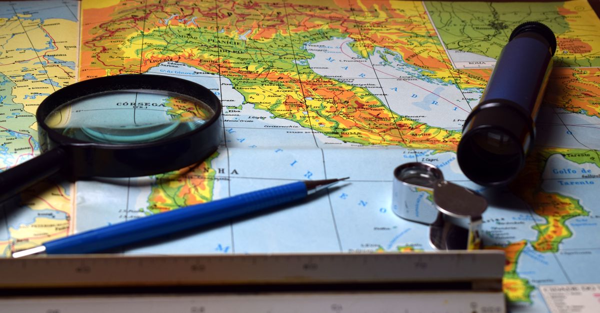
Tourist maps generally divide Japan into eight regions: Hokkaidō, Tōhoku, Kantō, Chūbu, Kansai, Chūgoku, Shikoku and Kyūshū-Okinawa. This division makes itineraries easier to understand and appears in guides, weather information and regional railway offers. It does not, however, have the same administrative status as prefectures; some maps classify transitional areas such as Mie or Okinawa differently.
| Region | Geographical landmarks | Cities and destinations to locate |
|---|---|---|
| Hokkaidō | Large northern island | Sapporo, Hakodate, Niseko |
| Tōhoku | Northern Honshū | Sendai, Aomori, Matsushima |
| Kantō | Eastern Honshū | Tokyo, Yokohama, Nikko, Kamakura |
| Chūbu | Central Honshū and the Japanese Alps | Nagoya, Kanazawa, Takayama, Mount Fuji |
| Kansai | Central-western Honshū | Kyoto, Osaka, Nara, Himeji |
| Chūgoku | Western Honshū | Hiroshima, Miyajima, Okayama |
| Shikoku | Island south of the Seto Inland Sea | Takamatsu, Matsuyama, Kochi |
| Kyūshū-Okinawa | South-western archipelago | Fukuoka, Nagasaki, Kagoshima, Naha |
Kantō is often the starting point for a trip because Tokyo is served by two international airports. The region also includes excursions such as Nikko to the north, and Kamakura and Hakone to the south-west. These destinations should not be treated as simple Tokyo neighbourhoods: each requires you to consider the departure station and local connections.
Chūbu occupies a pivotal position. To the west, Kanazawa opens onto the Sea of Japan coast; in the centre, the Japanese Alps separate the basins and make some direct journeys more difficult. Mountain villages and sites such as Takayama or Shirakawa-go are often combined with bus journeys. A route focused on this area is described in our guide to the Japanese Alps and their itineraries.
Kansai brings together several major cultural destinations in a relatively compact area. Kyoto, Osaka and Nara are close enough to visit during the same trip, but they offer different experiences: historical heritage in Kyoto, urban life and food in Osaka, and temples and a park in Nara. Farther west, Chūgoku connects Hiroshima with the Inland Sea and the sites of Miyajima.
The other regions encourage you to go beyond the most popular routes. Tōhoku combines cities, mountains and hot springs; Shikoku is best discovered at a slower pace; Kyūshū combines cities, volcanic landscapes and thermal baths. Regional names therefore make it possible to organise destinations before comparing the available connections.
To get online as soon as you land, a Japan eSIM can be installed before you leave, with no need to look for a local SIM card.
A map shows a major travel axis on Honshū: Tokyo, Nagoya, Kyoto, Osaka and then Hiroshima. These cities lie along the railway corridor that follows part of the Pacific coast. The route is convenient for a first trip, but it does not represent the whole country: a stop in Kanazawa, the Japanese Alps or Kyūshū means choosing other lines and sometimes changing stations.
Tokyo is a convenient starting point for exploring Kantō. The names Yokohama, Kawasaki, Saitama and Chiba appear around the capital and may seem to form one continuous area on an urban map. For travel, however, you still need to check the neighbourhoods, stations and networks used: the distance between two points alone does not indicate the required travel time.
Heading west, Nagoya marks a central stop, followed by Kyoto and Osaka in Kansai. Kyoto is suited to several days of sightseeing, while Osaka also serves as a base for reaching Nara or Himeji. Hiroshima extends the itinerary westwards; Miyajima can then be visited by combining land transport and a sea crossing. Timetables and operating conditions vary depending on the service: check the official operators when planning your journey.
On a small-scale map, the distance between two cities is sometimes measured as the crow flies. This is neither the rail distance nor the door-to-door travel time. Terrain, the track layout, connections, transfers between the airport and city centre, and access to your accommodation all affect the calculation. A destination that appears close may take longer to reach than a large city on a direct line.
A coherent itinerary follows the available connections more than the geometry of the map. For a longer route, compare the stops suggested in our two-week Japan itinerary and our three-week Japan itinerary.
The Shinkansen connects several major cities on Honshū and extends northwards and south-westwards. The Tōkaidō line connects Tokyo, Nagoya, Kyoto and Osaka; it continues westwards via the Sanyō line, serving Hiroshima and Hakata, near Fukuoka. Other lines serve Tōhoku, Hokuriku, Jōetsu and Kyūshū. A network map therefore shows the main routes, but not all the regional trains needed to reach an isolated site. For more practical information, see our guide to train travel in Japan.
The network does not cover every island in the same way. Shikoku has no Shinkansen; journeys are made mainly by regional trains, buses and bridges connecting the island to Honshū. For Okinawa, the national railway lines are not a means of access from the main islands. You must include flights and local transport in your overall plan, checking up-to-date information with the carriers.
Station names matter as much as city names. Tokyo and Shinagawa, for example, are separate departure points within the capital. In Osaka, you must also distinguish between stations depending on the train and destination. When a map indicates only “Tokyo–Kyoto”, it does not show the time needed to reach the station from your hotel or the time spent on connections.
Regional and national rail passes do not necessarily cover the same trains or areas. The right choice depends on your route, the operators used and the services included; compare the official rules in force before buying. As conditions and prices may change, check them with the relevant railway organisation rather than relying on an old map or a remembered fare.
For travel within large urban areas, a rechargeable transport card can simplify everyday journeys, but its use and conditions vary depending on the location and network. Updated details are available in our guide to the Suica card and topping it up. The network map helps you plan; apps and information at stations then allow you to confirm the exact route.
A general map helps you understand where the regions, islands and major cities are located. A railway map answers a different question: which stations connect the stops? When planning a trip, it is useful to move from one type of map to the other, then consult a local map for neighbourhoods, buses and access to sites. No single map shows all these levels of detail clearly.
Paper maps remain useful for visualising a complete itinerary, especially when a trip crosses several regions. They highlight detours and breaks in the journey. For everyday navigation, digital maps are more practical, but they require a reliable connection and do not replace checking timetables, platforms or possible service interruptions.
Start by marking the essential stops, then connect them in the simplest geographical order. A Tokyo–Kyoto–Osaka route follows a direct axis; adding Kanazawa, Takayama or a destination in Kyūshū changes the circuit and may require an extra night. If your days are too busy, reducing the number of cities often allows you to spend more time in neighbourhoods and at attractions.
The season also affects the choice of regions. Weather conditions differ between Hokkaidō, Tokyo, the mountains and Okinawa; autumn colours and periods of heavy visitor numbers are not uniform across the archipelago. To refine your dates, compare the weather and autumn foliage information for Japan in November with your itinerary and official weather information.
To keep a map readable, distinguish the main stops from excursions. Use one colour for overnight stays, another for long-distance journeys and a symbol for day trips. This method quickly shows whether a detour requires backtracking or whether a connection is missing from the plan. The right itinerary is one that respects the distances, available transport and the actual time you want to spend in each place.
Before departure, check timetables, fares and access conditions with the relevant official operators or organisations: this information changes. A map helps you understand the country and build a route; checking the connections then turns that route into a practical travel plan.
From north to south, the four main islands are Hokkaidō, Honshū, Shikoku and Kyūshū. Okinawa lies farther south, in the Ryūkyū archipelago.
Maps usually divide the country into eight regions: Hokkaidō, Tōhoku, Kantō, Chūbu, Kansai, Chūgoku, Shikoku and Kyūshū-Okinawa. This geographical division is not an administrative level equivalent to prefectures.
Tokyo, Nagoya, Kyoto, Osaka and Hiroshima are located on Honshū. They are connected by major railway lines, although actual travel times depend on the service chosen and the connections required.
No. Okinawa is located in the Ryūkyū archipelago and is not connected to the main islands by a Shinkansen line. Check flights and local transport with the official operators before departure.
In 2023, Japan’s Geospatial Information Authority (GSI) published a recount of 14,125 islands. This total depends on the measurement method and the threshold used to define an island.
To book tours and activities in Japan ahead, see the options on Klook.
Updated on 06/11/2026
Scroll to see more articles →