
Shirakawa-go: Visit the Gasshō-Zukuri Village
Discover Shirakawa-go, a UNESCO-listed Japanese village with gasshō houses, Alpine scenery and practical advice for planning your visit.
The Tokyo subway map becomes easy to read once you distinguish between the operators and follow the colours and line codes. Tokyo Metro and Toei Subway operate the two underground networks, while JR East trains, particularly the Yamanote Line, complement travel around the capital. A map may combine these networks with other urban trains, so before boarding, check the line name, direction and transfers shown for your journey.
Stations are signposted in Japanese and English, with letters and colours that make it possible to find your way without reading Japanese characters. An IC card such as Suica or Pasmo simplifies payment for most journeys, but it does not turn the networks into a single service: changing operators can alter the route and fare. Here are the key points for understanding the map, choosing a route and avoiding common mistakes. For more information, see our guide to train travel in Japan.

The underground network is shared between Tokyo Metro and Toei Subway. This distinction is useful when planning a journey: a station may be served by several operators, and changing lines does not always mean staying on the same network. The general map often displays these services side by side, but the symbols and line names show who operates the train.
Each line has an alphabetical code and a colour. The Ginza Line is associated with the letter G and orange, the Marunouchi Line with M and red, the Hibiya Line with H and grey, and the Hanzomon Line with Z and purple. These markers appear on station signs and platform information. It is often quicker to look for a colour and code than to decipher a Japanese name written in Latin characters.
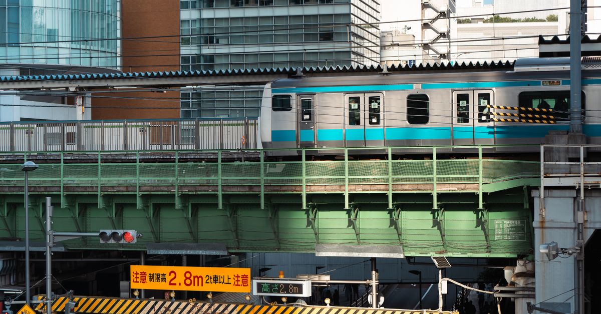
JR East trains are another part of the urban railway network. The Yamanote Line, recognisable by its green colour on maps, serves major districts such as Shinjuku, Shibuya, Harajuku, Ueno, Akihabara and Tokyo Station. It is useful for connecting distant parts of the city, but should not be confused with Tokyo Metro or Toei lines. The Japan Rail Pass can be used on JR trains covered by the pass, but it does not cover journeys on the Tokyo Metro or Toei networks.
When planning a day, start with the districts you want to visit rather than looking for an isolated line. The pages on Tokyo districts to visit or stay in and Asakusa, Sensō-ji and Nakamise can help you locate destinations on the map. The best reference point is not necessarily the nearest station: it is also the line that reaches the district without an unnecessary detour.
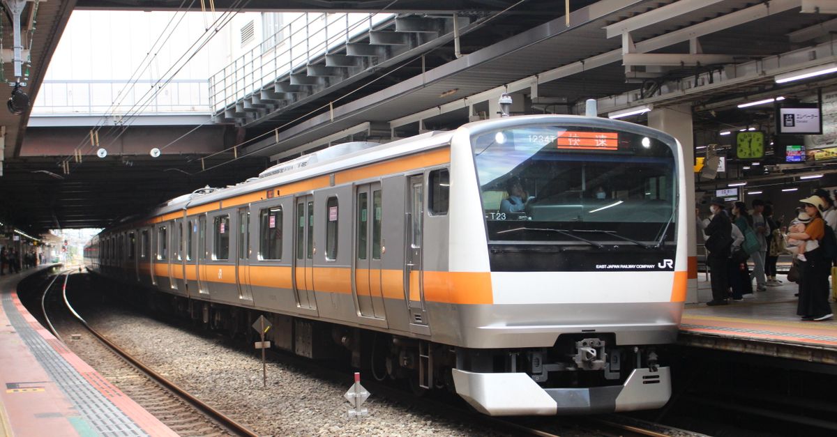
A station is generally identified by its name, the line code and a number specific to that line. The code immediately tells you which route you are on, while the number helps you follow the sequence of stops. On a map, these indications are especially useful when two stations have similar names or when a transfer passes through several corridors.
Transfers between networks are not all the same. Some take place within the same station complex; others require you to follow a corridor or pass through ticket gates to reach a different operator. Look for signs showing the line name and operator, then follow the arrows to the platform. When changing networks, also check whether the journey requires you to validate your ticket again.
Major stations may have numerous exits. At Shinjuku, for example, your choice of exit can bring you to a very different part of the district. Before leaving the ticket gates, look for the name of the street, shopping centre or destination on the local map. A route-planning app may suggest a particular exit; compare this with the signs displayed in the station, which remain the most direct reference once you are there.
For your first journey, remember three things: the line code, the terminus in the correct direction and the name of the station where you need to get off. Announcements and signs are generally available in Japanese and English. If several lines cross, do not simply board the first train displaying the correct line name: confirm the terminus and platform, as trains on the same line may travel in opposite directions.
To book tours and activities in Tokyo ahead, see the options on Klook.
Transport apps make the subway map easier to understand by showing the route, transfers and estimated journey time. Enter the destination name in Latin characters and select public transport. The suggested route may combine the subway, a JR train and walking, so check the operator at each stage to understand the journey, especially when using a pass limited to one company. Our guide to getting around Japan provides further practical advice.
A Suica or Pasmo IC card can be topped up and used to validate entry and exit by tapping it on the reader. Both are accepted on many urban services, but availability and the arrangements for buying or topping them up may vary. Digital versions also depend on the device and compatible payment methods. It is therefore best to check the conditions with the operators before travelling, particularly if you plan to buy a physical card on arrival. See also our guide to the Suica card in Japan.
| Option | Practical use | What to check |
|---|---|---|
| Suica or Pasmo IC card | Pay for successive journeys without buying a separate ticket each time. | Availability, top-ups and compatibility of the digital version. |
| Single-journey ticket | Make an occasional journey on the selected network. | Fare corresponding to the destination and operator. |
| Daily or tourist pass | Consider for several journeys within a given period. | Networks covered, validity period and current sales conditions. |
| Japan Rail Pass | Use the JR trains included in the pass, including certain urban journeys. | It does not cover Tokyo Metro or Toei Subway. |
As transport fares and ticket conditions may change, check them with Tokyo Metro, Toei or JR East when you travel. A pass is not automatically good value: compare the journeys you plan to make with the networks it covers. To reach another city, the shinkansen is a different service from the subway; the information on the train between Tokyo and Osaka can help you plan that stage separately.
To get online as soon as you land, a Japan eSIM can be installed before you leave, with no need to look for a local SIM card.
The subway map makes the most sense when you connect it to urban landmarks. Tokyo Station, Ueno, Shinjuku and Shibuya are both stations and transport hubs where several routes meet. Depending on your destination, the nearest stop on the map is not always the most convenient: a nearby station may offer an easier transfer or a better-placed exit.
In Asakusa, for example, compare the lines serving the area and check the exact name of your chosen station before leaving the train. To visit Sensō-ji and Nakamise Street, you can then explore the district on foot. Similarly, for a visit to Shibuya or Harajuku, the Yamanote Line may be a suitable option, while a subway line may be more convenient depending on your starting point and precise destination.
The network can be very busy during commuting hours. If your schedule allows, shifting a journey with heavy luggage or a long transfer can make the trip more comfortable. In the corridors, pay attention to the signs: exits are often identified by letters or numbers, and following the wrong direction can add a significant walk before you have even left the station.
Trains do not run all night. The time of the last departure varies by line and day; check the official information for your evening journey. This is particularly useful after going out in a district far from your accommodation, as return options may be limited once the service has ended.
Using public transport in Tokyo is easier with a little preparation: keep your route accessible, let passengers off before boarding and avoid making loud phone calls in the carriages. During busy periods, place your bag in front of you so that it does not inconvenience other passengers. These habits make it easier to move around platforms and carriages, especially in large stations.
If you are unsure, look for bilingual signs or ask station staff for help. Give the name of the line and destination rather than showing a general map: a specific question is easier to resolve in a place where several networks meet. Maps displayed in stations and maps on your phone complement each other, but the colour coding and local signs remain essential for confirming the correct platform.
Before validating, check that the journey matches your ticket or pass. An IC card makes entry and exit simple, but a pass may exclude certain lines or operators. The most reliable habit is to check the operator, direction and ticket coverage; this is what turns a dense map into an easy-to-follow route.
The network is extensive, but alphabetical codes, colours and bilingual signs make it easier to find your way. For every journey, check the line, terminus and station where you need to get off.
They are two separate operators of the underground network. Some journeys or transfers move from one network to the other; check your ticket coverage and the information displayed in the stations.
These IC cards can be used on many urban networks. Arrangements for purchasing, topping up and digital compatibility may change, so check the current conditions with the operators.
No. It does not cover Tokyo Metro or Toei Subway lines. Depending on the pass conditions, it may cover certain JR East trains, including journeys on the Yamanote Line.
Updated on 15/11/2026
Scroll to see more articles →